Urban Planning That Actually Works

We've spent years figuring out what makes neighborhoods tick - and honestly, it's way more about people than perfect grids. Let's build communities that folks actually wanna live in.

How We Approach City Development

Real talk - every city's got its own personality. We don't do cookie-cutter solutions 'cause that's just lazy planning. Instead, we dig deep into what makes each community unique and work from there.

Community First

We actually talk to residents, business owners, local kids - everyone's got something valuable to say about their neighborhood.

Green Integration

Parks aren't afterthoughts - they're the lungs of any good urban plan. We weave nature through every project.

Future-Proofing

Cities change fast. We design with flexibility so neighborhoods can evolve without major overhauls every decade.

Smart Mobility

Less cars, more options. Walkable streets, bike lanes, transit hubs - making it easy to ditch the car when you can.

Planning consultation

Our Planning Process

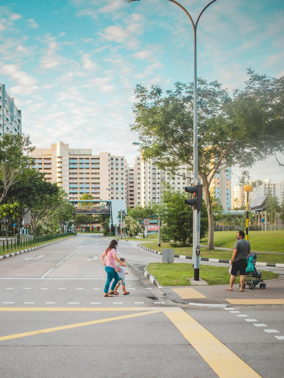
Look, urban planning can get messy real quick if you don't have a solid process. We've refined ours over the years working on projects from small neighborhood revitalizations to major city expansions across BC and beyond.

01. Discovery & Research

We spend weeks just walking around, taking notes, photographing corners, talking to people at coffee shops. Gotta feel the place before you can plan for it.

02. Collaborative Visioning

Town halls, workshops, online surveys - we get everyone involved. The best ideas often come from residents who've lived there for decades.

03. Design & Iteration

Multiple drafts, feedback rounds, tweaking until it feels right. We're not precious about our first ideas - the best plan's the one that evolves.

04. Implementation Strategy

A plan that sits in a drawer is worthless. We create phased rollouts with realistic timelines and budgets that municipalities can actually work with.

Project Timeline Showcase

Here's how a few of our urban projects unfolded from concept to completion

False Creek Waterfront Renewal - Vancouver

Q1 2019
Initial Assessment

Community surveys, environmental studies, infrastructure analysis

Q3 2019
Master Plan Draft

Public workshops, design charrettes, municipal approvals

Q2 2020
Phase 1 Launch

Waterfront promenade, bike paths, green corridors construction

Q4 2021
Completion

Mixed-use spaces, public art installations, transit integration

Impact: This project transformed 2.3km of underutilized waterfront into a vibrant community hub. We're seeing 60% more foot traffic, three new local businesses opened, and residents tell us they actually use the space daily now - which is exactly what we hoped for.

False Creek project

Burnaby Heights Transit-Oriented Development

Q1 2020
Site Analysis

Transit patterns, demographic studies, density modeling

Q4 2020
Zoning Proposals

Council presentations, height studies, shadow impact assessments

Q3 2021
Development Starts

Mixed-use buildings, plaza spaces, underground parking

Q2 2023
Full Occupancy

380 residential units, retail spaces, community center operational

Impact: Built around the SkyTrain station, this development reduced car dependency by 40% among residents. Most folks can walk to work or hop on transit in under 5 minutes. The ground-level retail brought 12 new shops and cafes - really brought life to what was basically a parking lot before.

Burnaby Heights project

Richmond Agricultural Urban Edge - Ongoing

Q2 2022
Baseline Studies

Agricultural land review, buffer zone planning, farmer consultations

Q1 2023
Community Visioning

Multi-stakeholder workshops, design scenarios, ALR compatibility

Q3 2023
Pilot Projects

Farm-to-table market spaces, agri-tourism nodes, trail networks

Q4 2024
Phase 2 Planning

Expansion strategies, sustainable housing clusters In Progress

Current Status: This one's challenging but exciting - we're trying to balance urban growth with protecting some of Canada's best farmland. Early results show we can create transition zones that benefit both farmers and residents. The farmers' market pavilion opened last fall and it's been packed every weekend.

Richmond project
City planning overview

Interactive Development Studies

We don't just hand over a static PDF and call it a day. Our clients get access to interactive models where they can explore different scenarios, see how changes ripple through the system, and make informed decisions based on real data.

3D Visualization Models

Walk through proposed developments before a single shovel hits dirt. We've found this cuts down arguments in council meetings by half - seeing is believing.

Impact Calculators

Adjust density sliders and instantly see effects on traffic, schools, parks, transit loads. Numbers don't lie, and they help everyone get on the same page fast.

Comparative Analytics

How does your project stack up against similar developments? We pull data from across North America to show what works and what's just wishful thinking.

Planning Services We Offer

From neighborhood-scale projects to regional planning initiatives

Master Planning

Big-picture stuff - laying out entire neighborhoods or districts from scratch. Takes time but sets the foundation for decades of growth.

Site Development Plans

Getting into the nitty-gritty of specific parcels - grading, utilities, access, all that fun stuff that makes or breaks a project.

Zoning & Bylaw Consulting

Navigating municipal regulations is like learning a new language. We've been doing it long enough to know all the shortcuts and dead-ends.

Public Engagement

Running community meetings that people actually show up to and participate in - harder than it sounds, but we've got the formula down.